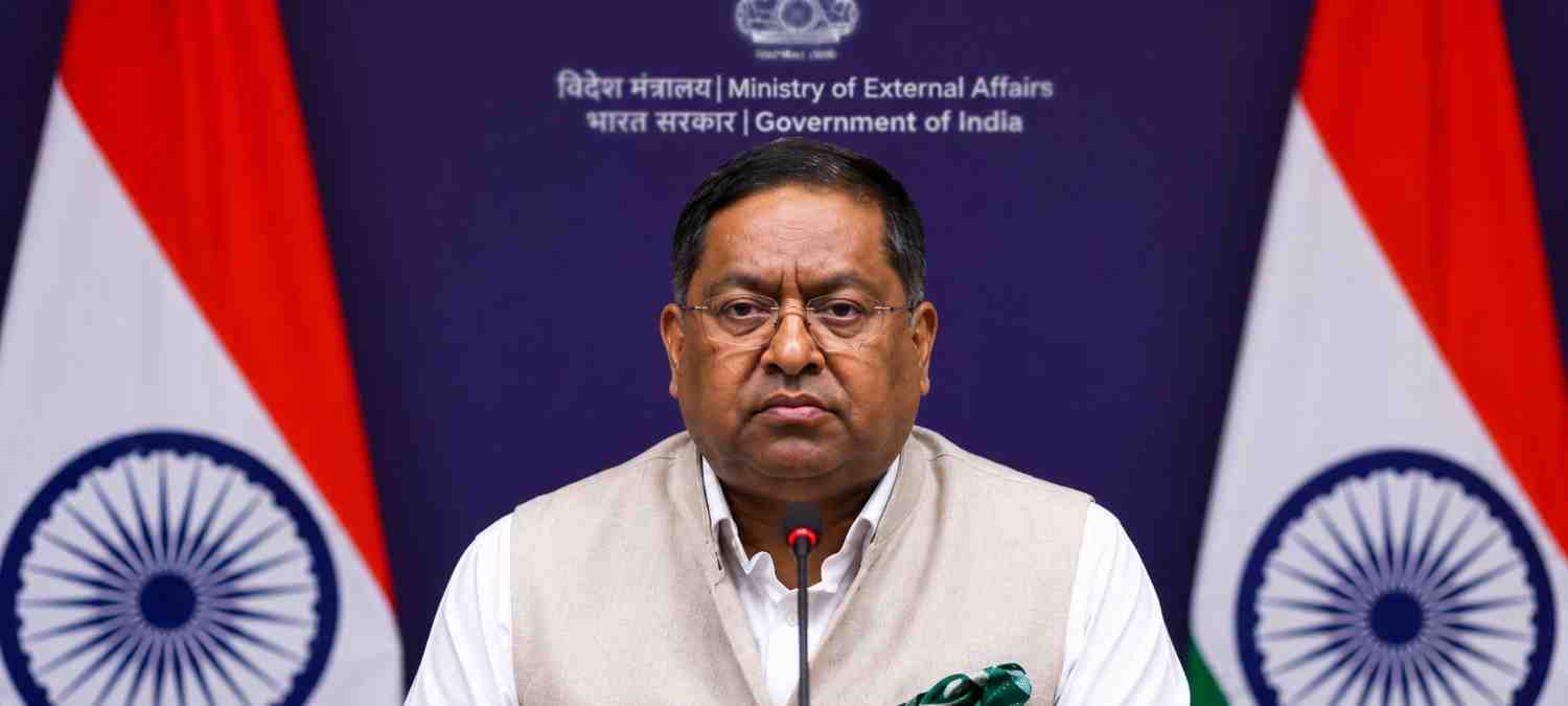
India has supported a United Nations General Assembly resolution calling for greater use of world maps that represent the actual size of countries and continents more accurately, while making its position clear on the depiction of Jammu and Kashmir and Ladakh.
The UN General Assembly adopted the resolution, widely referred to as the “Correct the Map” initiative, with 164 countries voting in favour, six abstaining and the United States voting against. The measure seeks to encourage the use of equal-area map projections to address geographical distortions associated with commonly used world maps.
India’s support, however, came with an important clarification. New Delhi said backing the resolution should not be interpreted as endorsing any particular map projection. It also stressed that any international representation of India’s territory must follow the country’s official map and accurately reflect its territorial claims.
India Supports Fairer and More Accurate Maps
The resolution focuses on the long-standing problem of distortion in conventional world maps. The Mercator projection, developed in the 16th century, has been widely used for navigation and other purposes but can significantly exaggerate the apparent size of regions located closer to the poles.
The campaign for a more proportionate world map has been strongly supported by African countries, which argue that conventional projections visually reduce the size of Africa and other regions closer to the Equator.
The resolution promotes the wider adoption of equal-area projections, including the Equal Earth projection, which was designed to provide a more realistic representation of the relative size of land masses. The initiative is intended to encourage governments, educational institutions and other organisations to consider more geographically balanced alternatives.
New Delhi Rejects Misleading Depictions of J&K, Ladakh
While supporting the broader principle behind the UN resolution, India has drawn attention to the sensitive issue of territorial representation.
The Ministry of External Affairs said the resolution does not establish or endorse a particular cartographic projection. India therefore considers its vote as support for the broader principle of accurate and equitable mapping rather than approval of any individual map design.
New Delhi has simultaneously made clear that Jammu and Kashmir and Ladakh must be shown according to India’s official map whenever Indian territory is represented.
The government has described inaccurate or misleading representations of India’s sovereign territory as unacceptable. The clarification is particularly significant because maps showing Jammu and Kashmir and Ladakh have long been politically sensitive due to territorial disputes involving India, Pakistan and China.
What the UN Resolution Means
The UN measure is not legally binding and does not force countries to abandon the Mercator projection. Instead, it encourages international organisations, governments, schools and technology platforms to explore map projections that provide a more accurate representation of land areas.
The distinction is important because different map projections are designed for different purposes. Mercator remains useful for navigation because it preserves certain directional properties, even though it distorts the relative size of land masses.
The Equal Earth projection, by contrast, aims to maintain more accurate area relationships between continents and countries.
Togo spearheaded the initiative with support from African states, framing the campaign as an effort to correct historical distortions in the way the world is visually represented. The resolution’s overwhelming support marked a significant diplomatic push for more equitable cartography.
India Emphasises Cartographic Neutrality
India’s position introduces an important distinction between supporting accurate geographical representation and endorsing a specific projection.
Indian diplomat Raghoo Puri stressed that the approach should remain technologically neutral instead of being tied to one particular cartographic system. This allows India to support the objective of reducing geographical distortion while maintaining its independent position on how its territory should be represented.
For New Delhi, the issue therefore goes beyond the technical question of map projections. The depiction of national territory on international maps has direct implications for sovereignty and territorial integrity.
A Significant Diplomatic Signal
India’s vote places it among the overwhelming majority of UN members supporting efforts to make global maps more representative of actual land areas. At the same time, its clarification ensures that the vote is not interpreted as changing India’s established territorial position.
The resolution is expected to encourage wider discussion among governments, educators, cartographers and technology companies about how maps are designed and used.
For India, the message is clear: New Delhi supports efforts to correct geographical distortions, but any depiction of Jammu and Kashmir and Ladakh must accurately reflect India’s official territorial position.
The development highlights how something as familiar as a world map can carry significant diplomatic, political and geopolitical implications in international affairs.
Click here to join our WhatsApp Channel for real-time news updates and exclusive coverage.