
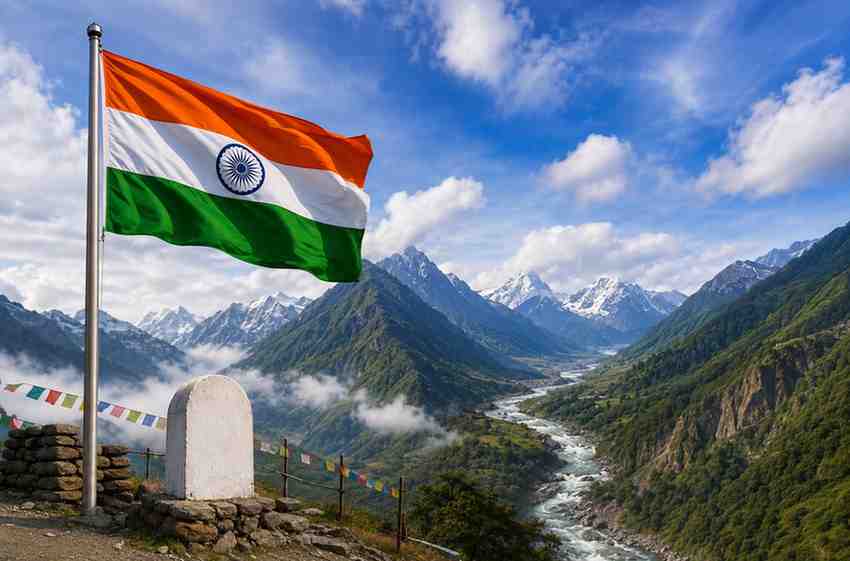
India has taken a significant cartographic and strategic step in Arunachal Pradesh by formally identifying 27 geographical locations and features on official Survey of India maps, reinforcing New Delhi’s position over the northeastern state amid continuing territorial assertions by China. The move comes as Beijing has repeatedly attempted to rename locations in Arunachal Pradesh to support its territorial claims.
The latest Indian initiative includes 21 land areas, four mountain passes, one high-altitude lake and other geographical features. The locations have been standardised in consultation with the Arunachal Pradesh government and incorporated into official mapping records.
Strengthens Its Official Map
The Ministry of Home Affairs said the identified places have been recorded using their standard names on Survey of India maps. The stated objective is to ensure accurate recognition of the locations and improve public awareness about geographically and strategically important areas of Arunachal Pradesh.
Although the government statement does not explicitly name China, the timing and nature of the decision carry wider geopolitical significance. Beijing has repeatedly issued its own lists of names for locations in Arunachal Pradesh, which it refers to as “Zangnan” or “South Tibet”.
India has consistently rejected China’s territorial claims over the state and maintained that Arunachal Pradesh is an integral and inalienable part of the country.
The latest mapping exercise therefore represents more than a geographical update. It reinforces India’s administrative and cartographic record of areas close to the Line of Actual Control (LAC).
27 Locations Include Strategic Border Areas
Among the locations formally identified by India is Long Ju, a strategically significant area along the LAC. Long Ju was the site of an early India-China border confrontation in 1959, when Chinese forces entered the area.
The list also includes Maja, a village near Long Ju in Upper Subansiri district, highlighting the importance of settlements located close to the disputed frontier.
Several high-altitude mountain passes have also been included. These are strategically important because of their proximity to the India-China border and their historical connection with military operations.
The inclusion of Thag La is particularly significant. The area was associated with one of the opening battles of the 1962 India-China war and remains an important reference point in the history of the Himalayan border dispute.
The other passes identified include Dzo La, Riza La and Pukur La, according to reports detailing the updated Indian mapping exercise.
Move Comes Amid China’s Renaming Campaign
China’s practice of assigning alternative names to places in Arunachal Pradesh has continued for several years. Beijing first released such a list in 2017 and followed it with further naming exercises in 2021, 2023, 2024 and 2025.

In May 2025, China announced names for 27 locations in Arunachal Pradesh, including mountains, passes, rivers, a lake and inhabited areas. India strongly rejected the move, calling China’s attempts to rename places “vain and preposterous” and stressing that changing names could not alter the state’s status.
In 2024, Beijing had similarly announced Chinese names for around 30 places in Arunachal Pradesh. New Delhi rejected that exercise as well and reiterated its territorial position.
The repeated naming exercises have increasingly been viewed as part of a broader contest over maps, terminology and territorial narratives between the two Asian powers.
Arunachal Pradesh Remains a Key Strategic Frontier
Arunachal Pradesh shares a long and sensitive border with China. Its mountainous terrain, high-altitude passes and remote settlements make the region strategically important for national security and border management.
The state has also witnessed increasing infrastructure development in recent years, including improvements in roads, bridges and connectivity to remote border areas. Such measures are aimed at strengthening the presence and accessibility of authorities in frontier regions.
The latest Survey of India mapping initiative adds another dimension to these efforts. By formally documenting the locations under their Indian standard names, New Delhi is strengthening the official geographical record used for administration, public awareness and national mapping.
A Strong Message Without Escalatory Rhetoric
The decision is significant because it allows India to reinforce its territorial position through official documentation rather than through a direct diplomatic confrontation.
The government’s emphasis on accurate identification and mapping also gives the move an administrative character, while its strategic implications are clear.
For New Delhi, the issue is not simply about what a particular mountain, village, pass or lake is called. Place names have increasingly become part of the wider contest over territorial claims between India and China.
By putting the locations on official national maps, New Delhi has delivered a firm message: geographical naming cannot determine sovereignty, and India’s position on Arunachal Pradesh remains unchanged.
The move comes at a time when both countries continue to manage a complex border relationship shaped by military tensions, diplomatic engagement and competing territorial narratives. Against this backdrop, latest mapping exercise underscores New Delhi’s determination to protect its territorial claims and maintain a clear official record of strategically important areas along the northeastern frontier.
Click here to join our WhatsApp Channel for real-time news updates and exclusive coverage.